The way the city has evolved means that visitors and residents alike typically perceive the two as distinct destinations – which lie nearly two miles apart. However, the city council is on a mission to improve links between the two locations to encourage visitors to explore a little further.
.avif)
We embarked on early stage research, engaging with stakeholders to build a clear picture of users’ perceptions of and experience in (and between) both hubs.
We identified key routes and destinations, and held workshops to learn how locals understand and build a mental map of the city and its routes.
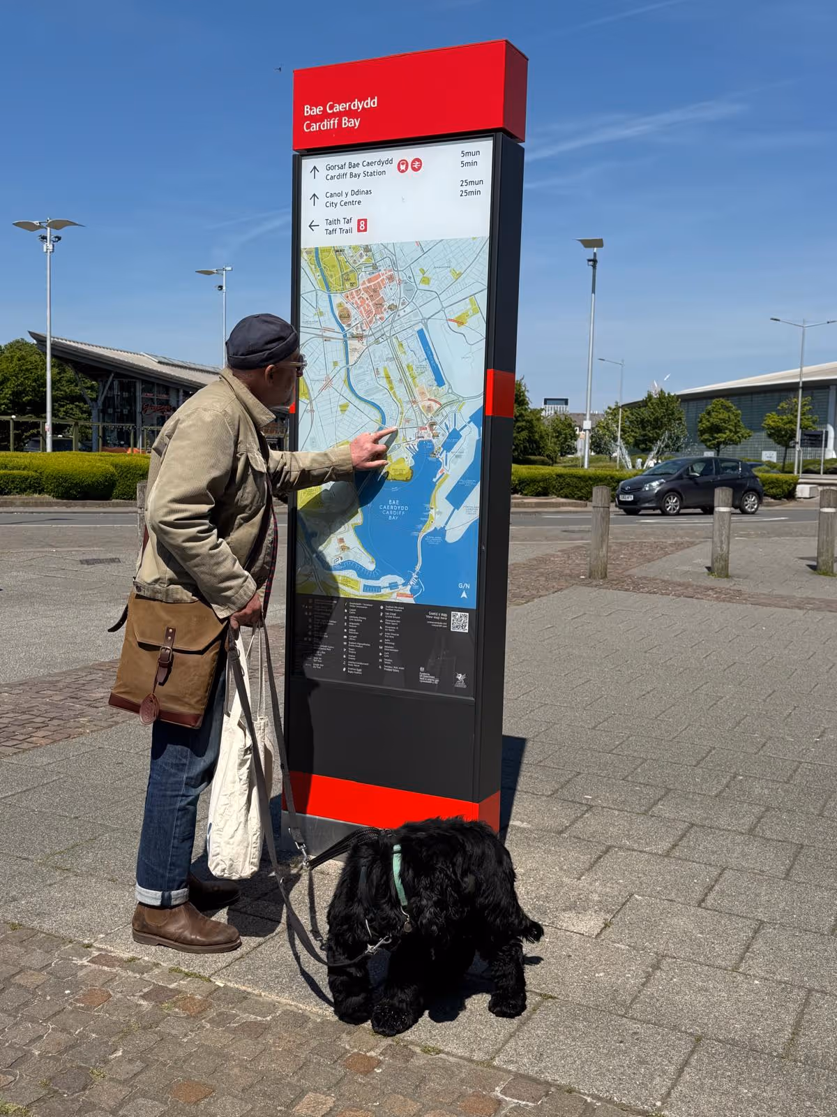
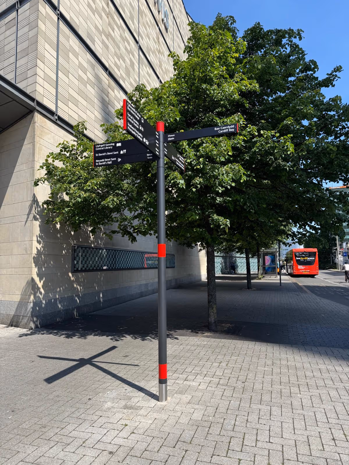
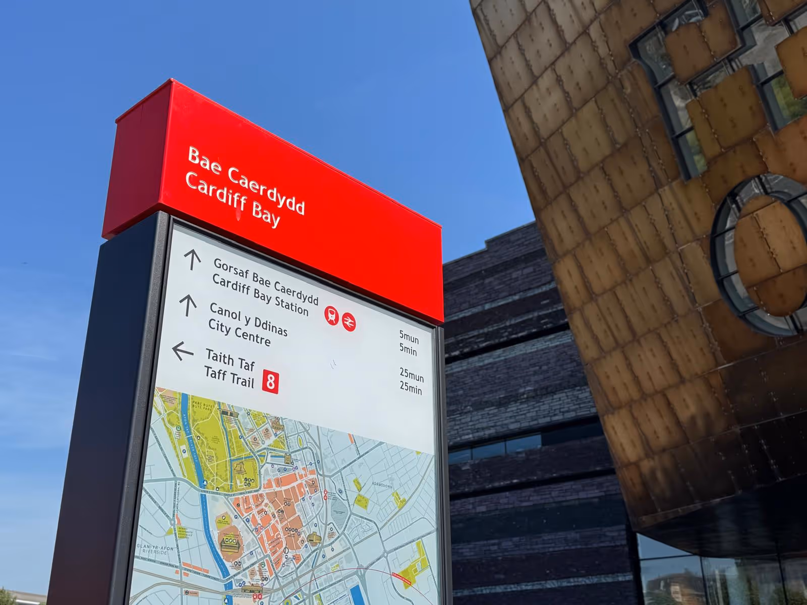
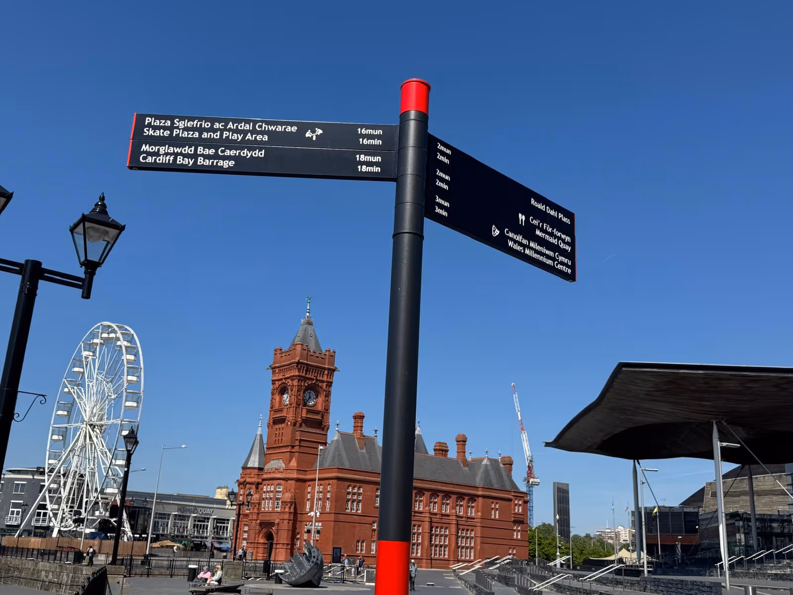
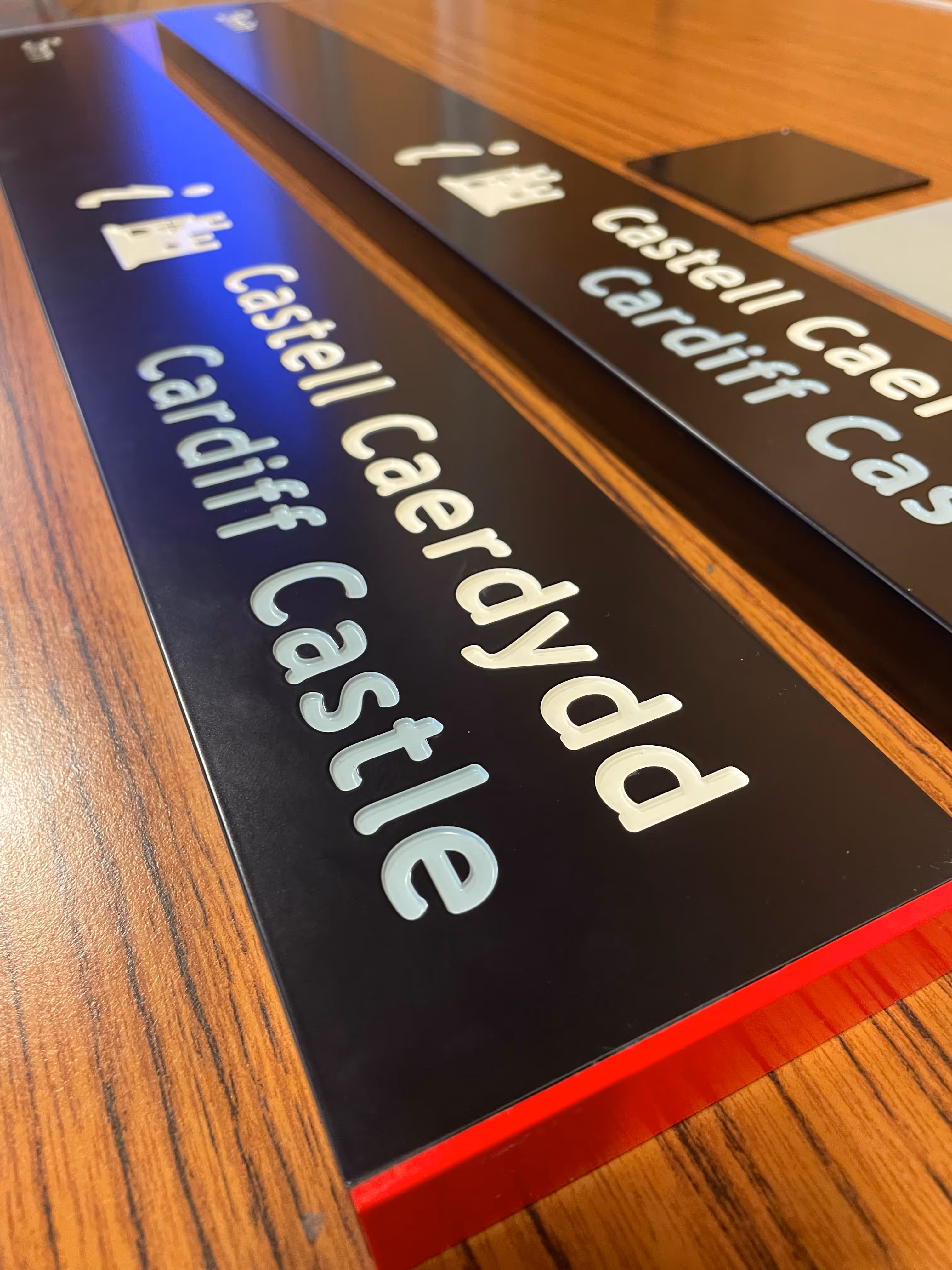
All signage had to be dual language with, importantly, Welsh the dominant language. This dynamic required us keep one eye of the amount of information to be displayed on each sign so as not to overwhelm the user.
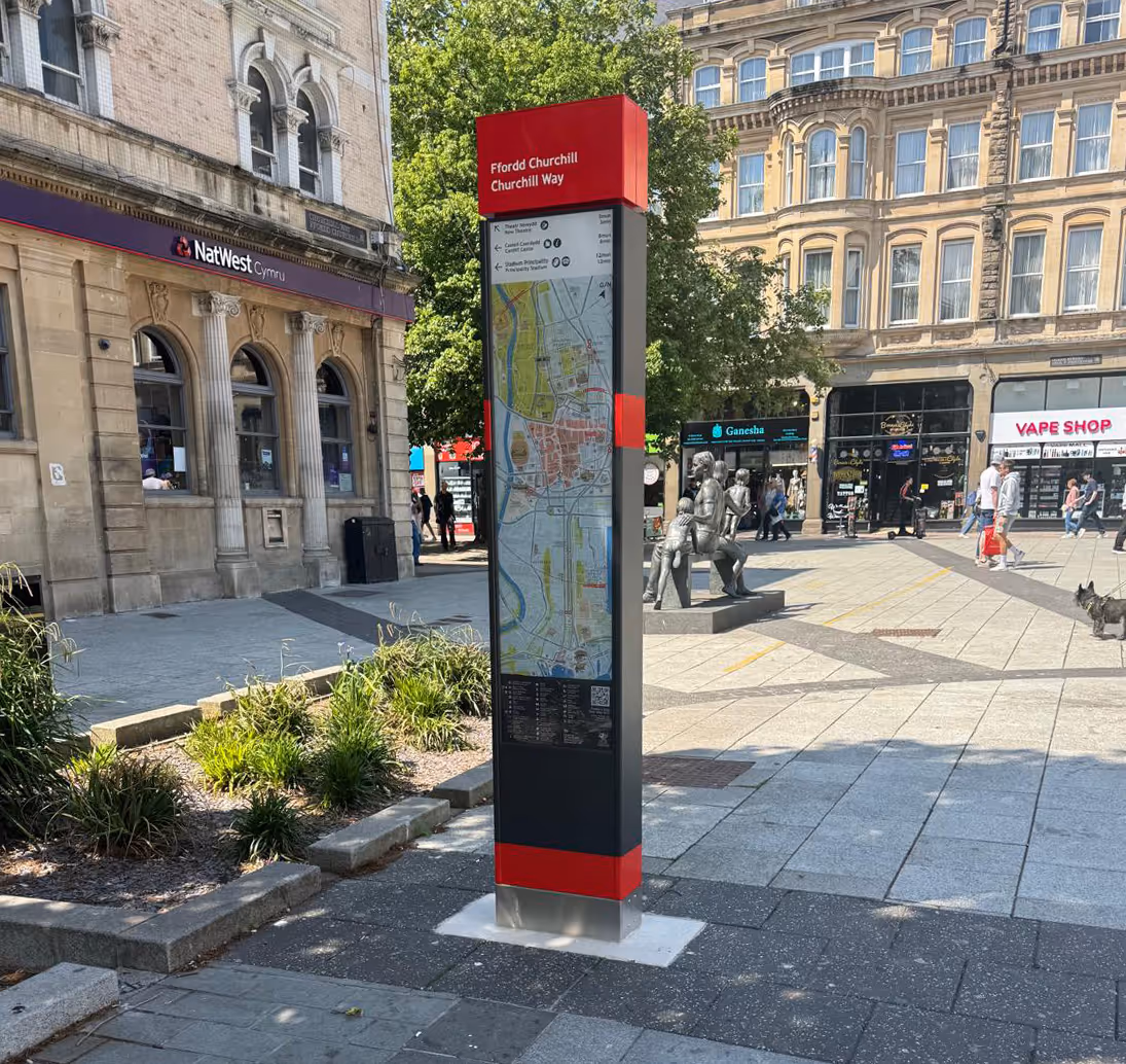
Cardiff’s maps needed to be carefully designed to avoid information overload. We:
Rarely in the United Kingdom or in Ireland will you encounter a regimented or organised town. The opposite – a place that grew organically with surprising twists and turns along the way – is much more the norm.
Wayfinding is rarely simply about navigation. It’s about bridging gaps in understanding and fostering a deeper connection between people and the spaces they inhabit. And then it’s a matter of using strategically placed and carefully designed signage to reinforce these connections.
Cardiff Council
We loved how they "got" our original ideas and have been able to interpret and craft it into a finished product.
They're focused, right down to the fine detail things like how the fingerposts have actually been engraved, backfilled and painted. It's all little details that we'd seen in projects elsewhere, but until you're actually in the project and you go through those discussions, you don't know what can be achieved.
It's a very personalised service.