Some ingredients are common to every wayfinding project user-centric design, legibility and accessibility, to name a few.
But for a rural wayfinding project there’s an added dynamic.
The heart of the matter is that users in a rural setting are navigating at a much larger landscape scale, often across constantly changing environments. And projects on a grand scale introduce another challenge entirely. Now that the King Charles III England Coast Path, which connects the entire length of the English coastline, is nearing completion, we’ve been asking the question:
How do you create a coherent journey across thousands of miles of constantly changing coastline, without flattening local identity?
A path is only truly useful if people can understand it.
When fully open, the King Charles III England Coast Path will be the longest managed coastal path in the world. But success at this scale depends not simply on connectivity, but on legibility. Across expansive landscapes, wayfinding interventions help visitors build confidence, understand the journey ahead and navigate coherently through constantly changing environments.
A continuous line on a map is one thing. A journey that feels coherent to the user is another entirely. And it’s legibility that gives people the confidence to step out.
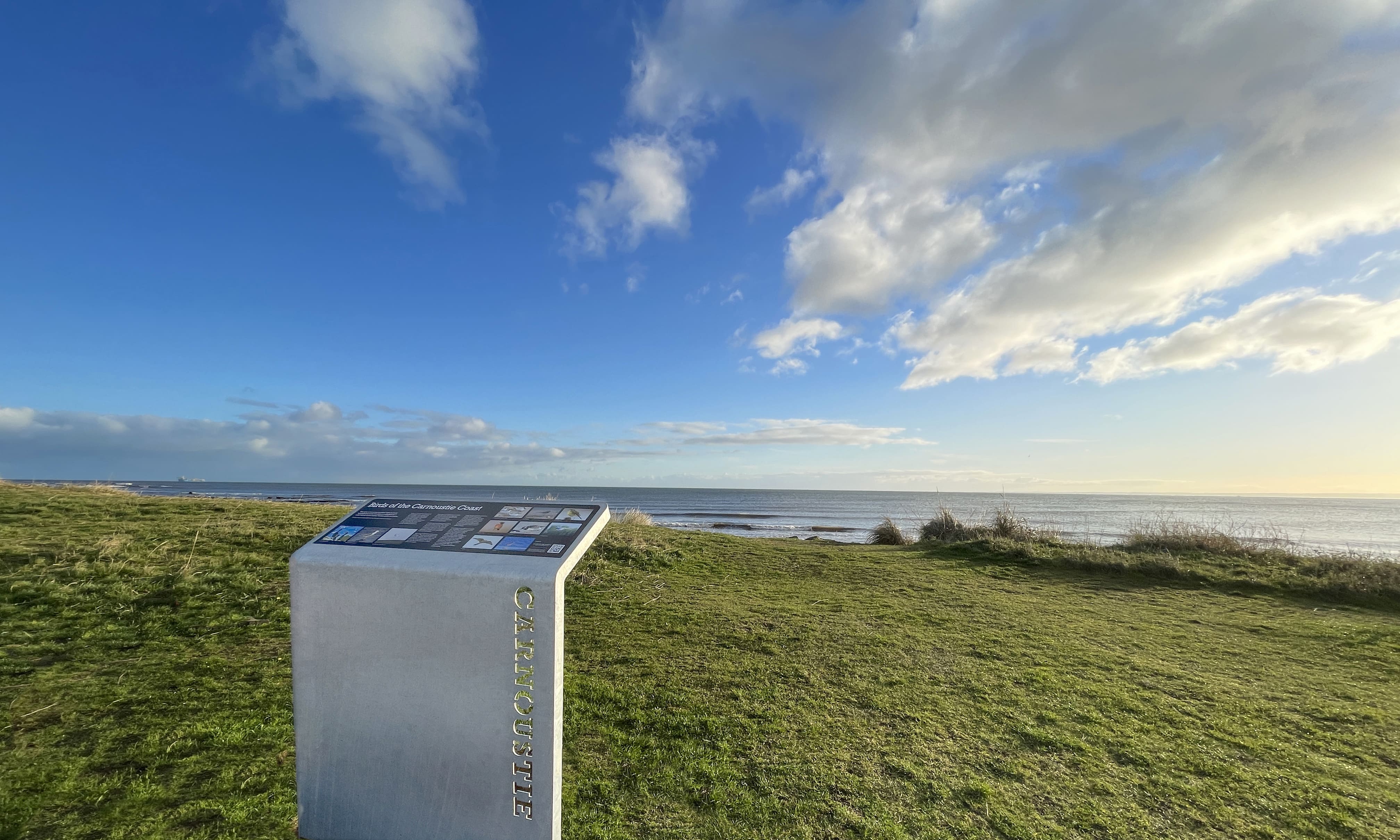
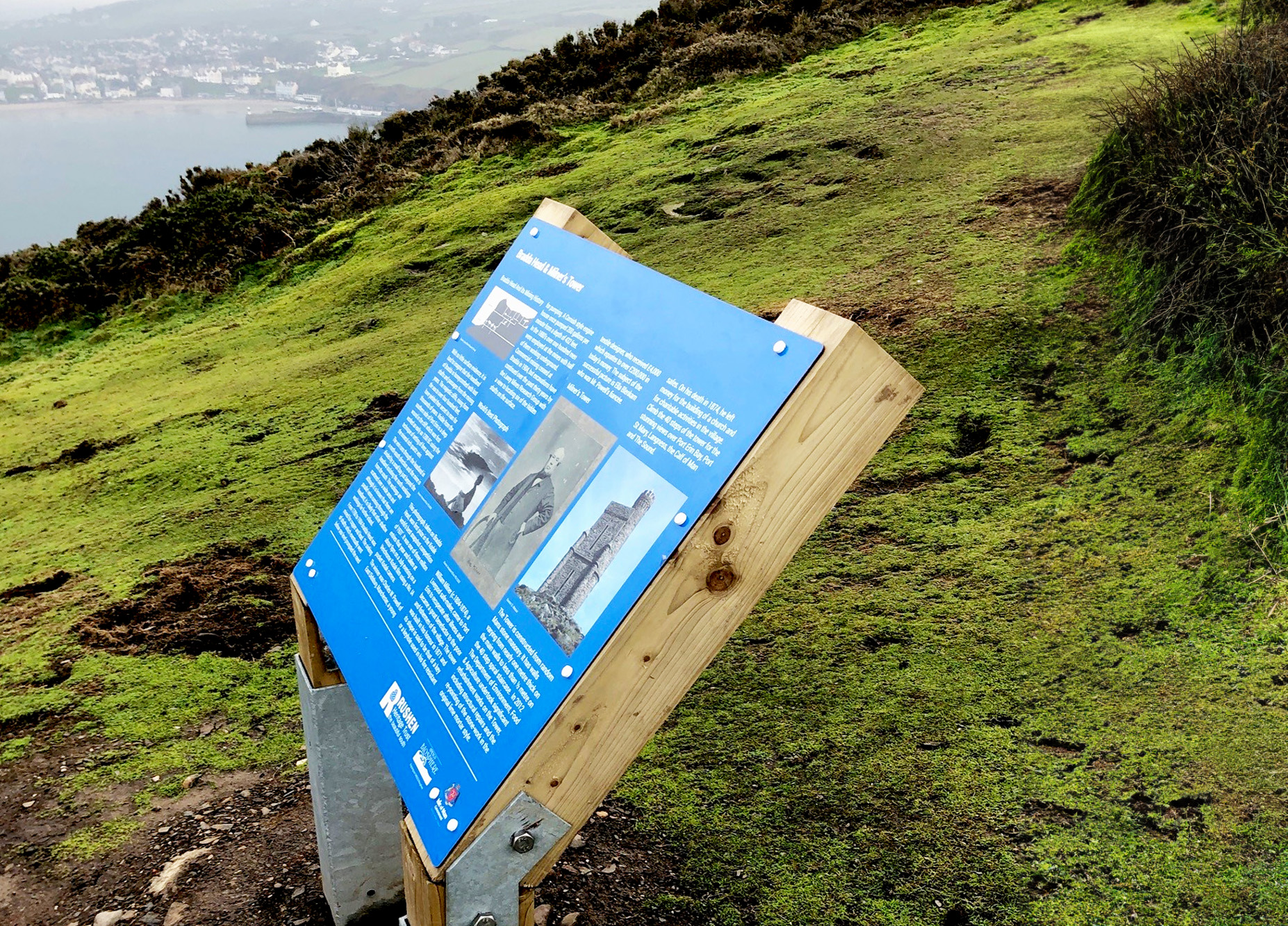
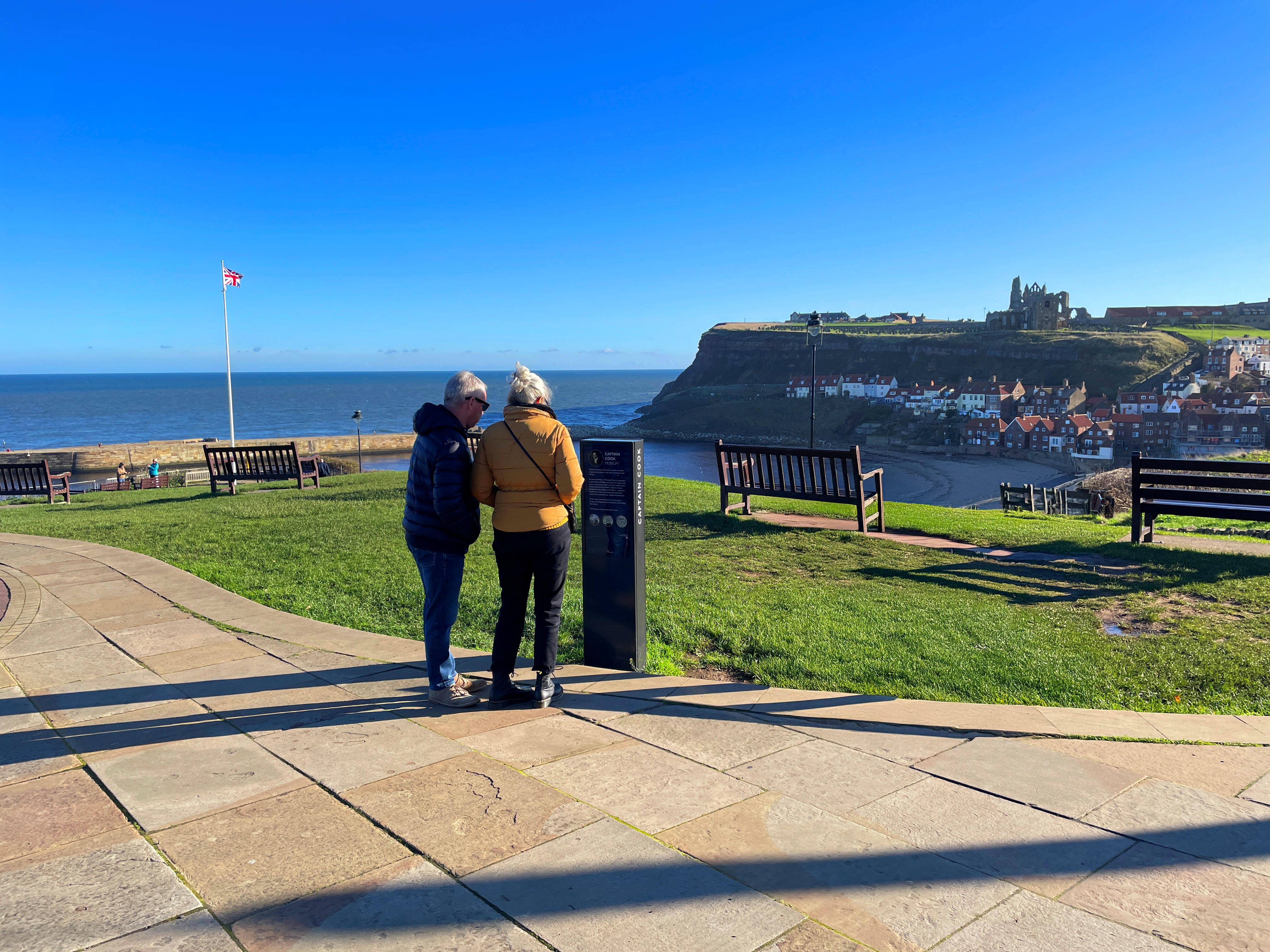
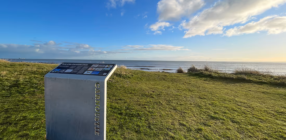
At its simplest level, users need reassurance that they’re still on the correct route, particularly in landscapes with fewer navigational cues. Clifftops, dunes, estuaries and open coastal stretches often lack the obvious cues that help us navigate in towns and cities.
But long-distance walking also requires a mental map, to help people understand not only where they are, but how nearby destinations connect and how the wider journey fits together. This becomes especially important in the transitions from one landscape character to another, such as from coastal path to harbour town.
Strategically placed wayfinding interventions quietly reduce uncertainty and encourage people to keep moving forward.
Regional or national trails naturally require consistency.
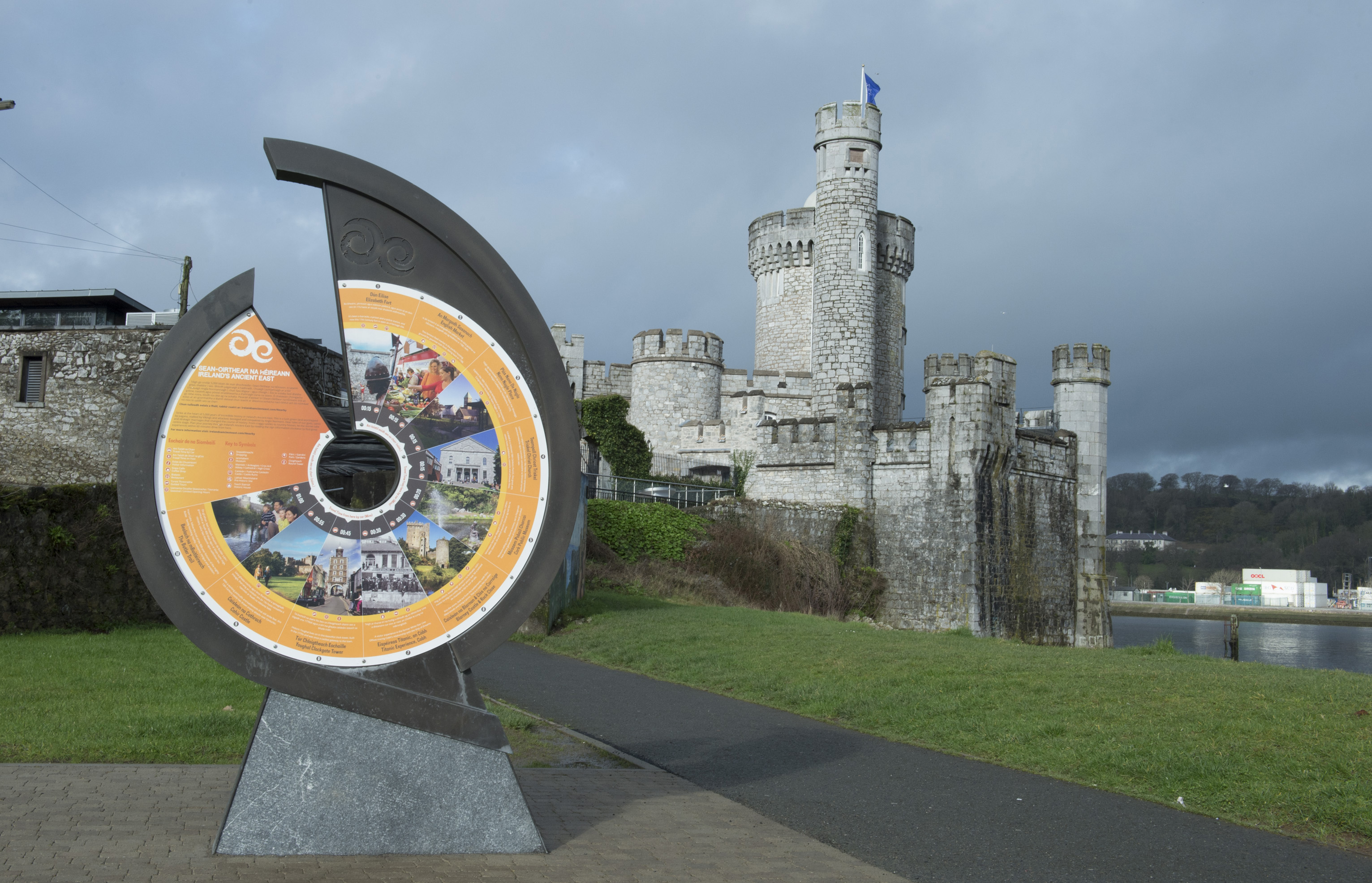
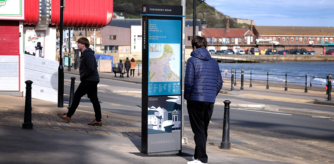
Working across a large estate, whether urban or rural, requires consistency in tone of voice, repeated visual cues and a clear hierarchy of information. This is the power of the design manual. In rural settings, the reassurance of a recognisable trail marker or familiar map is especially important when navigating unfamiliar territory over long distances.
The risk, however, is that too much standardisation can flatten local identity. The unintended consequence of this might be the sense that the wayfinding interventions could belong almost anywhere, as we recently reflected.
Coastal routes, for example, pass through a huge and varied number of settings, from fishing towns, former industrial ports, nature reserves, Victorian promenades, estuaries, marshland and dramatic cliff landscapes. Each has its own character, history and story to tell.
The challenge, therefore, is to create coherence, not uniformity.
The best wayfinding systems balance consistency with local expression. They provide a clear family of information and navigation tools, while still allowing the unique personality of individual places to shine.
It may sound obvious, but people don’t follow rural routes to simply get from A to B. They walk them for the experience. It really is all about the journey.
Wayfinding plays a crucial but understated role in helping to choreograph that movement.
We often talk about gently nudging people along routes rather than overwhelming them with information. The best systems offer reassurance at the exact moment it’s needed.
On long-distance routes, this can help encourage visitors to explore slightly further beyond the obvious stopping points, whether that’s to visit an archaeological site just off the route, or to let them know they’re only half a mile from the next comfort break.
This has important implications for local economies, as well as visitor experience. When people feel confident navigating somewhere, they are more likely to linger, explore secondary routes and discover places they may otherwise have walked past.
Wayfinding at the rural scale shapes how people understand and experience their journey.
Rather than imposing a single identity onto every place, rural wayfinding can quietly help people feel oriented and build a mental map within constantly changing environments, giving them the confidence to keep walking, exploring and discovering.
That is the real opportunity presented by projects like the King Charles III England Coast Path.
Creating a single continuous coastal path is a huge achievement. Now the next step is to create a journey people can confidently understand and enjoy, while still preserving the individuality of the places that make the route worth walking in the first place.


.avif)
