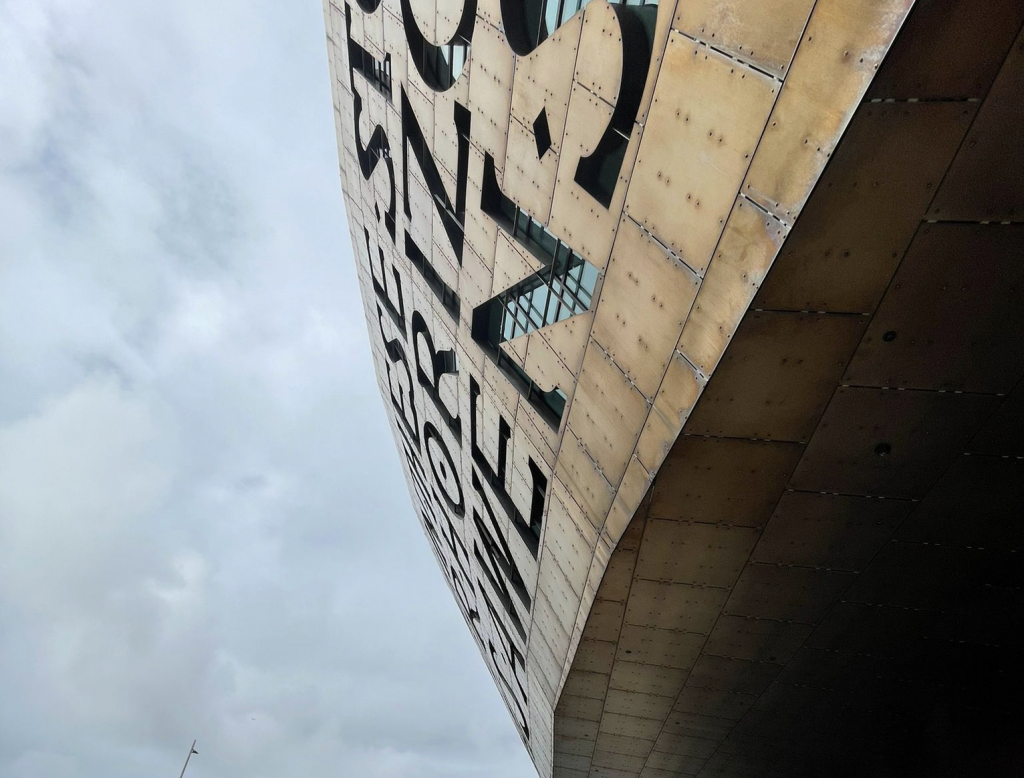
We’ve been appointed by Cardiff City Council to deliver a new wayfinding strategy for the unique city of Cardiff, which encompasses not only the urban city centre but also Cardiff Bay with its marina and international sports village.
Like many of Britain’s cities, Cardiff has been shaped by the Industrial Revolution when the city and its docks – once a focus for coal exportation – grew rapidly. After inevitable decline in the 1980s, the Cardiff Bay Development Corporation transformed the bay once more into a bustling and vibrant place, partly due to the installation of a vast barrage which has created a 200-hectare freshwater lake for leisure use.
The way the city has evolved means that visitors and residents alike typically perceive the two as distinct destinations. However, the city council is on a mission to improve links between the two locations to encourage visitors to stay a little longer and explore a little further.
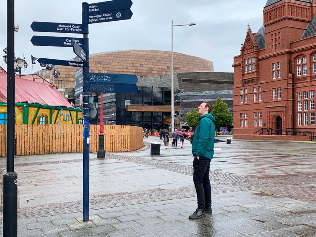
But before we dive into the design process, we’ll be getting to understand user experience and perception of the city. That’s because, as with all our projects, it’s rarely simply about navigation. Rather, it’s about bridging gaps in understanding and fostering a deeper connection between the people and the spaces they inhabit.
Sue Manley, Strategy Director, said:
“This is the sort of challenging project we love to get our teeth into. The city has evolved to effectively have two centres, and we’ll be working to guide visitors and locals between the city centre and bay but also highlight the hidden gems that lie along the route and improve visitor experience.”
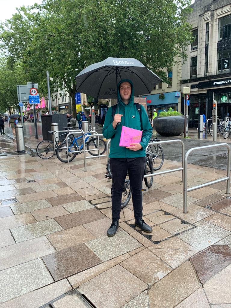
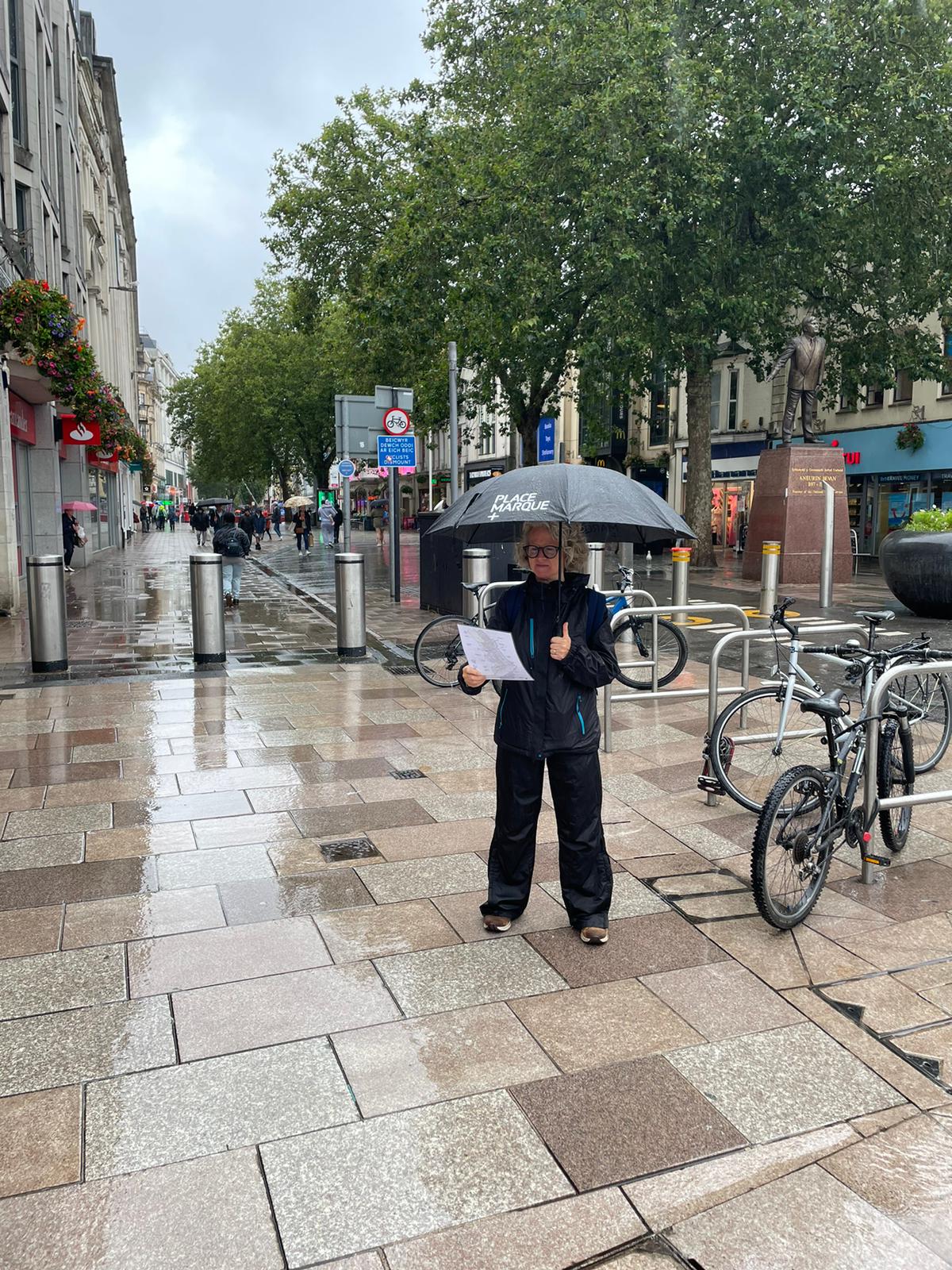
After a wet and windy site visit, we’re full steam ahead, digging into the city’s heritage further to weave a cohesive story into the wayfinding interventions. Our strategy will not only guide visitors between the city centre and bay but also highlight the hidden gems that lie along the route.
Stay tuned for updates as we explore the dynamic path between the city and the bay.

