SmartCity is a planned town on the northeast coast of the island of Malta, on the outskirts of the capital, Valletta.
Malta has historically held an important role as a naval base, and its relationship to the sea defines much of the island’s national identity. SmartCity, nestled right by the historic Fort San Rocco, seeks to encapsulate that unique identity in a new and modern placemaking initiative.
When complete, the city will include a shopping centre, a university, college, hotel and plenty of apartments. We are appointed by the masterplanners, HKS Architecture, to devise a wayfinding strategy that will help in the team’s wider ambitions to create a high-quality and engaging destination.
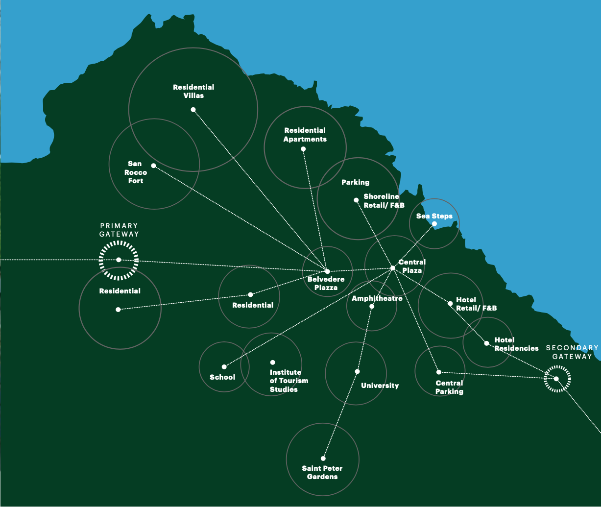
The island, unlike many of its Mediterranean neighbours, has rocky cliffs and sea steps rather than gradual sandy beaches. HKS Architecture’s design rationale, therefore, embraces flowing organic lines, with most notably, a set of dramatic amphitheatre-like sea steps in the heart of the city.
Embracing its dramatic, rocky coastline, the vision for the city is that it will become a place where people engage with nature and the physical world. The natural topography, built environment, public squares and green spaces all provide waymarking clues.
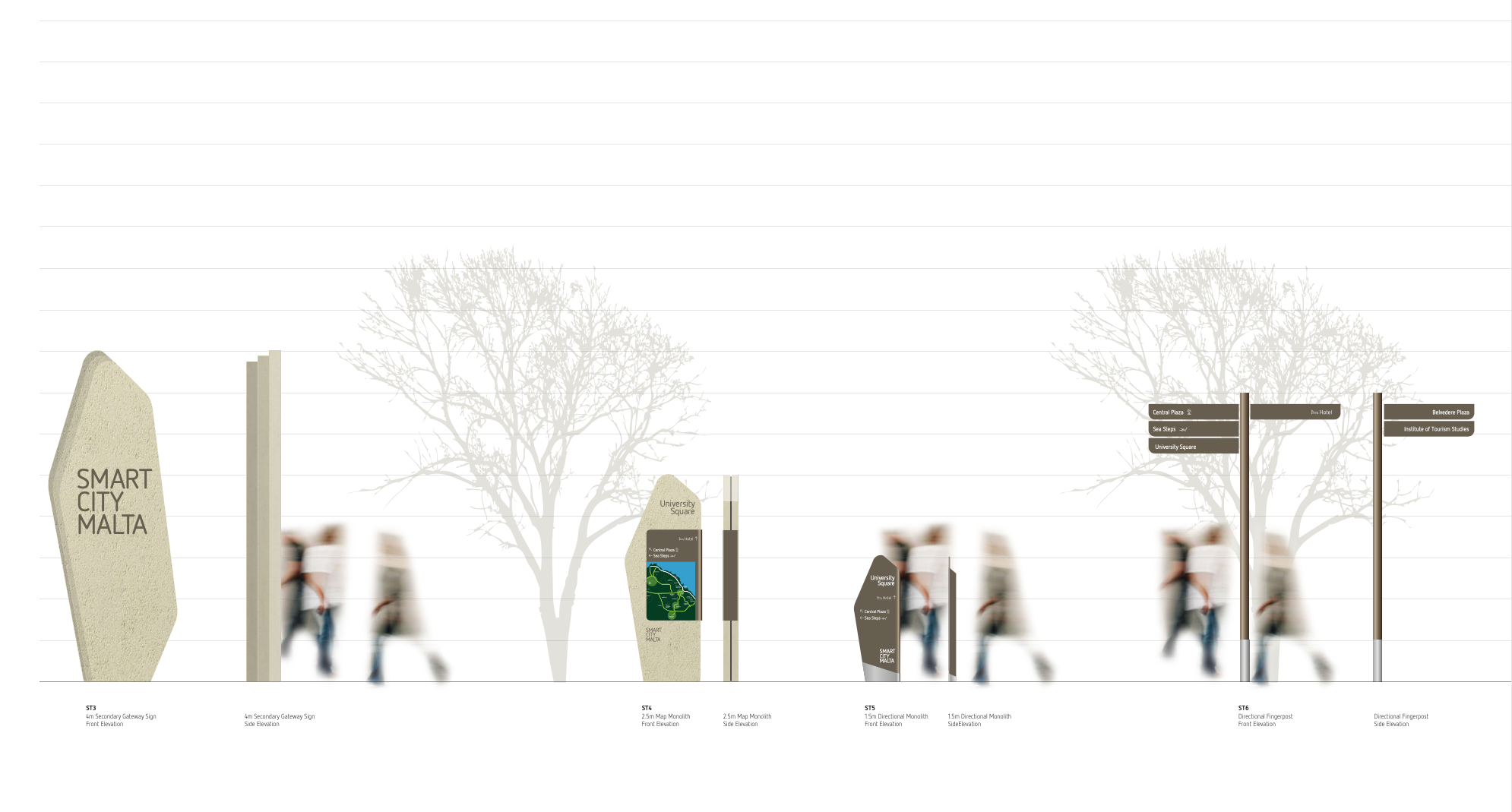
The wayfinding will reinforce these clues, and the vehicle route hierarchy at key gateways, offering clear information at important decision points. This is all with the aim of activating the public realm and providing plenty of green routes to weigh in favour of the pedestrian over the vehicle.
It’s fantastic to work with masterplanners at this early stage when road layouts and development blocks are still being determined. With the emerging built form still in a relatively fluid state, we can influence the legibility of a place, ensuring that the most direct pedestrian and cycle routes are planned in.
SmartCity is, therefore, a very legible site.
Guy Warren, Design Director
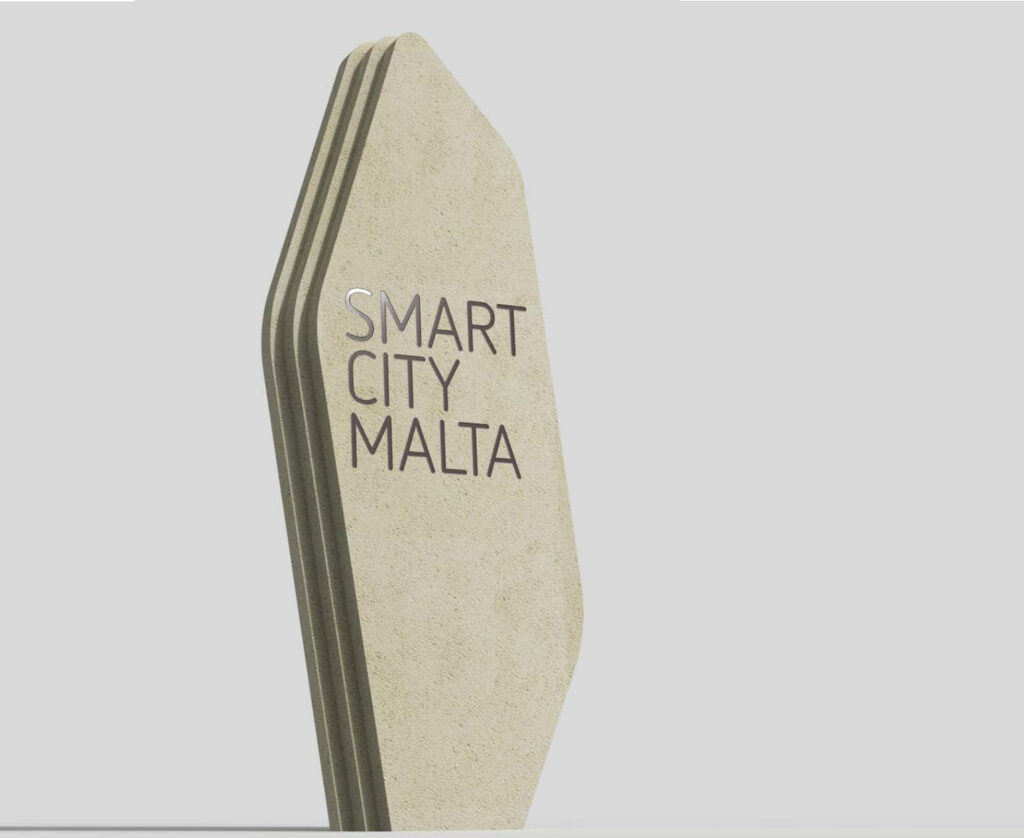
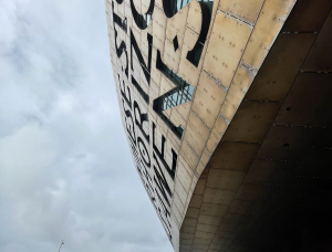
We’ve worked closely with the architects to devise a signage design concept which aligns with the architecture, both in terms of materials and form. A faceted building form and resulting strong shadows are reflected in the sign design, the most notably in the 8m high primary gateway sign that emerges from the water itself.
The latest technology will be used – it is a smart city after all – but only as a means to serve the residents and users of SmartCity, rather than being the focus in itself. Our scheme incorporates digital wayfinding capabilities, so that users on foot or by car can make use of satellite navigation to help with their onward journey.

