Why revisiting a project is a sign of a successful wayfinding strategy
This month we were instructed by Lancaster City Council to deliver further updates to the city centre wayfinding. In fact, we’re currently working in three places where we’ve delivered wayfinding before.
But whilst returning to a project might, at first glance, suggest something went awry first time around, it’s actually a sign of success.
The truth is, cities and towns never stay the same. Indeed, any place maker working in planning policy, master planning or regeneration is focused on moving a place on and shaping its evolution. Their aim is to bring in investment, smarten up the less desirable parts and make more of the good bits.
We are often called back to a place to refocus the strategy or make changes to fit a new reality.
Here are a few reasons why:
Adapting to changes in the built environment
The inevitable changes that take place in a city or town are vast. Perhaps it’s as simple as the tourist information centre has relocated.
Or it could be a much larger change, like the publication of a regeneration strategy which defines new character areas and identifies new destinations in the town centre.
Trouble is, the longer the signs point to the wrong location, the more lost visitors will get. We prioritise these sorts of projects where a redesign is needed to get the signs back on track, and ensure that our sign design is adaptable to minimise disruption and cost.
Extending the scope
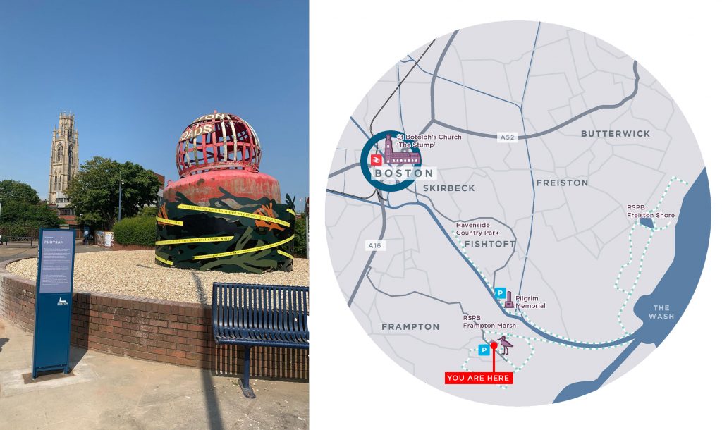
In Boston, we returned to our original project to extend the geographical scope of the wayfinding.
The original scheme focused on the town centre, establishing a brand for the town and highlighting the town centre attractions.
The follow up project, undertaken last year, extended the wayfinding out to historic and ecological attractions beyond the town centre. Building on the strong sense of brand that the first project had established, the work extended the brand onto larger-scale mapping, highlighting the footpath network and encouraging people to explore both town and country.
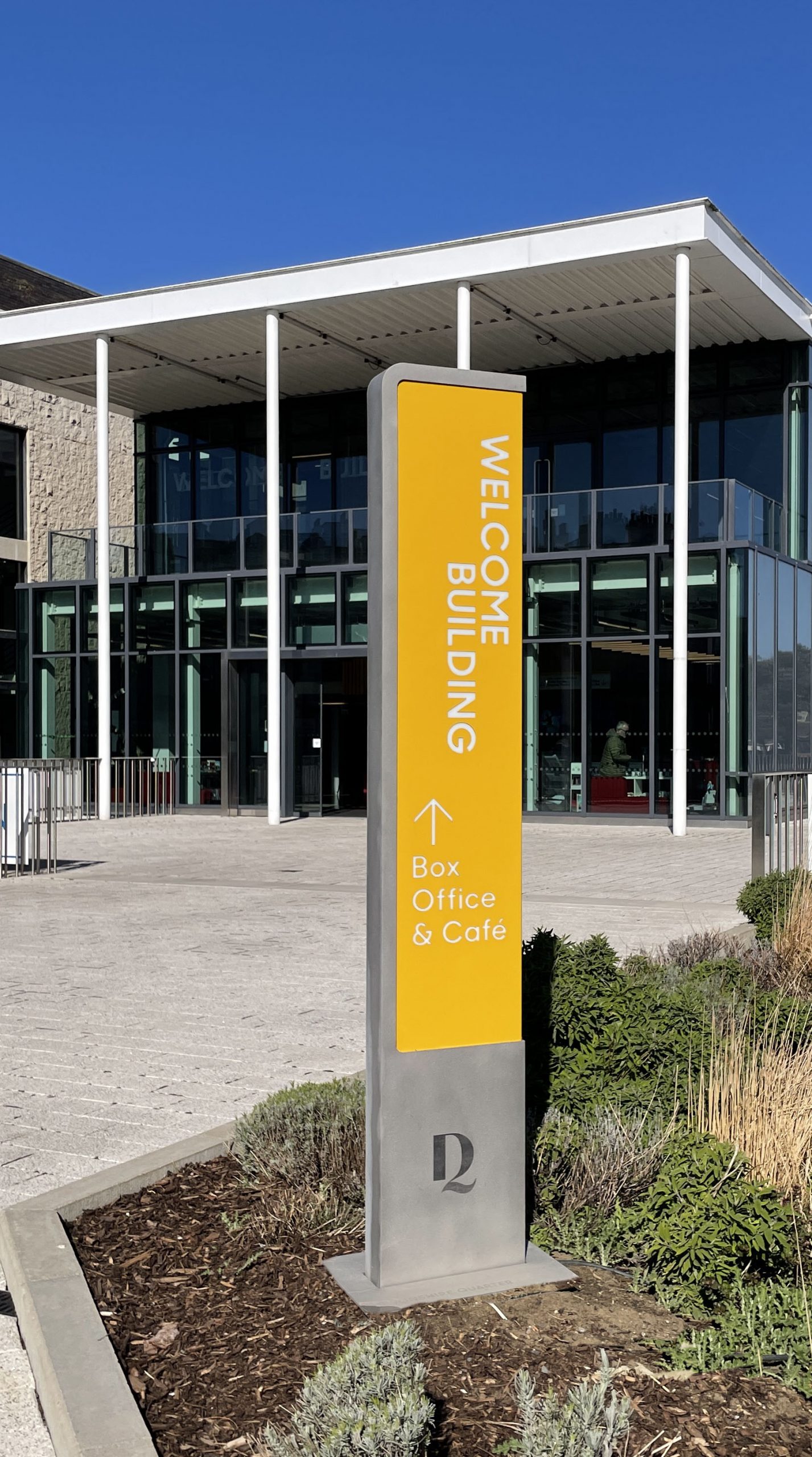
New signage in Eastbourne 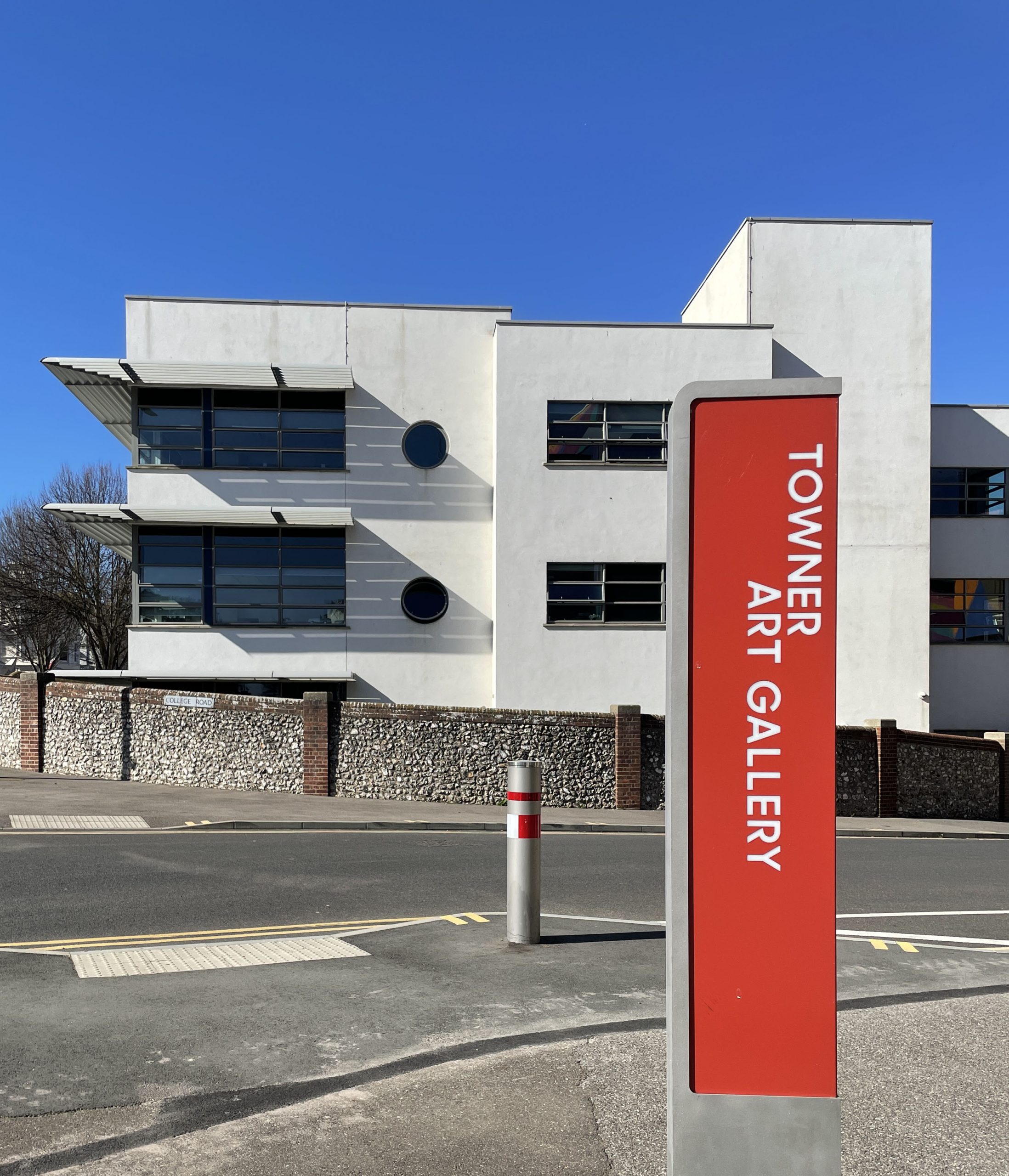
Filling in the gaps
We devised a town-wide wayfinding strategy for Eastbourne in 2018, but only implemented the pilot scheme which delivered a select number of signs along a key route – Terminus Road.
This is the critical route in the town centre, helping visitors navigate Eastbourne’s counterintuitive topography to reach the seafront from the railway station.
The project ran consecutively with a separate wayfinding scheme in Eastbourne’s cultural quarter, which aided navigation of the town’s various theatres, conference centre and international tennis club.
Following the success of the pilot, we’re back.
We’re currently devising the final set of signs to fill in the gaps between the two previous schemes. The end result will be a comprehensive strategy which will enhance user experience and encourage visitors to explore the town for themselves.
And yes, we’ll also be updating the signs from the pilot scheme as part of this project!
Signage must be adaptable
Because there are so many reasons why places change, we make sure our designs are adaptable so that the process of updating them in the future is as easy as possible.
We also carefully consider whether interactive or digital technology is the right solution. It’s easy to be drawn in by bright lights and new technologies, but with a digital project comes questions about who will host the website in five years’ time, or who will maintain the signage once initial funding is gone. Where it’s right, we’ll promote the benefits of a digital wayfinding scheme, but where it’s not needed, we keep things simple.
Because we understand the practicalities of keeping a wayfinding strategy up to date, we take care to understand our clients’ needs at the outset, design a scheme that is pragmatic as well as attractive and work closely with manufacturers at every stage.
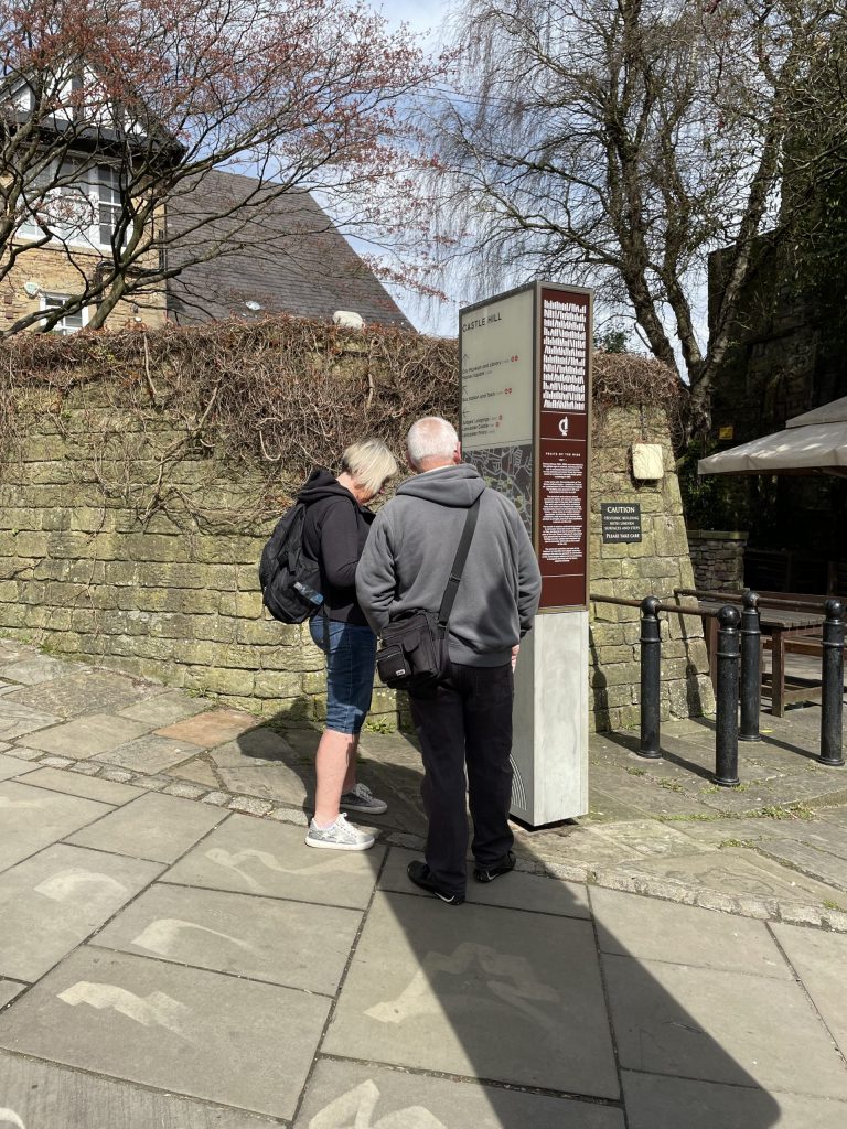
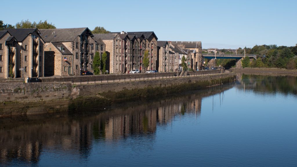
Lancaster’s Wayfinding is well established and we are revisiting for a third time 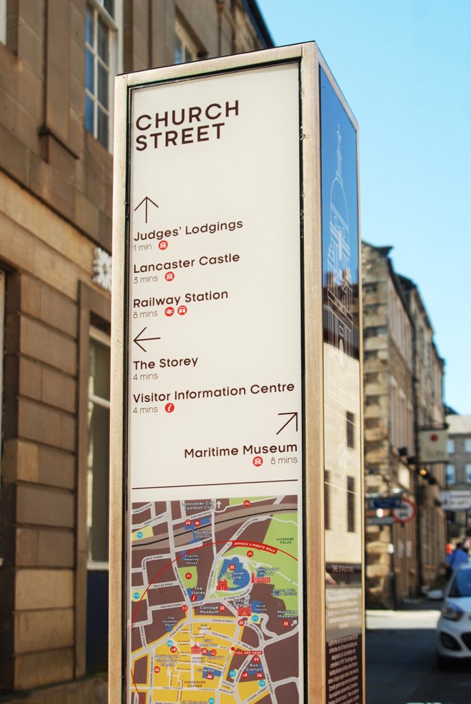
Wayfinding grows with a city
Wayfinding is an important part of placemaking, and we work hand in hand with councils and masterplanners to deliver solutions that grow with a city.
It’s a sign of a successful project when we get the opportunity to revisit a place we’ve been before, to build on our existing knowledge and experience and take the wayfinding strategy one step further.
The wayfinding of an area should grow with a city: for example, as new developments are built, or as cycle networks get bigger, the wayfinding needs to always keep user experience as the focus.
It’s a sign of evolution, and it’s a good thing.
If your place is in the process of evolving, get in touch and let us help you devise a wayfinding strategy that will enhance its sense of place and grow with it.

