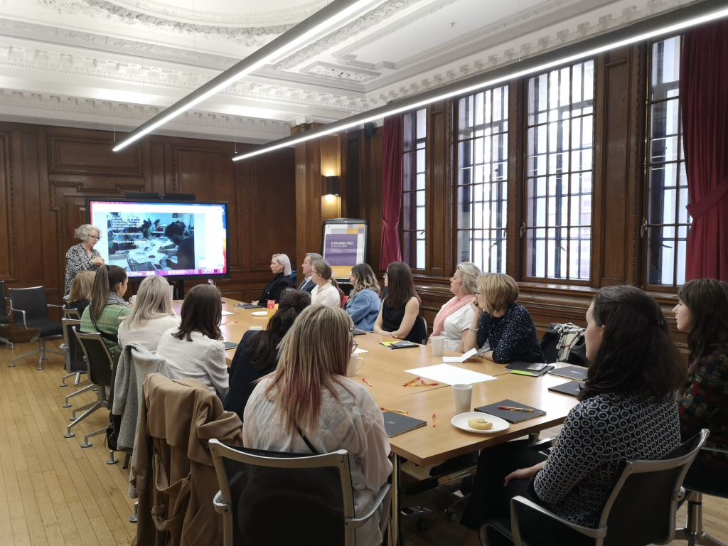
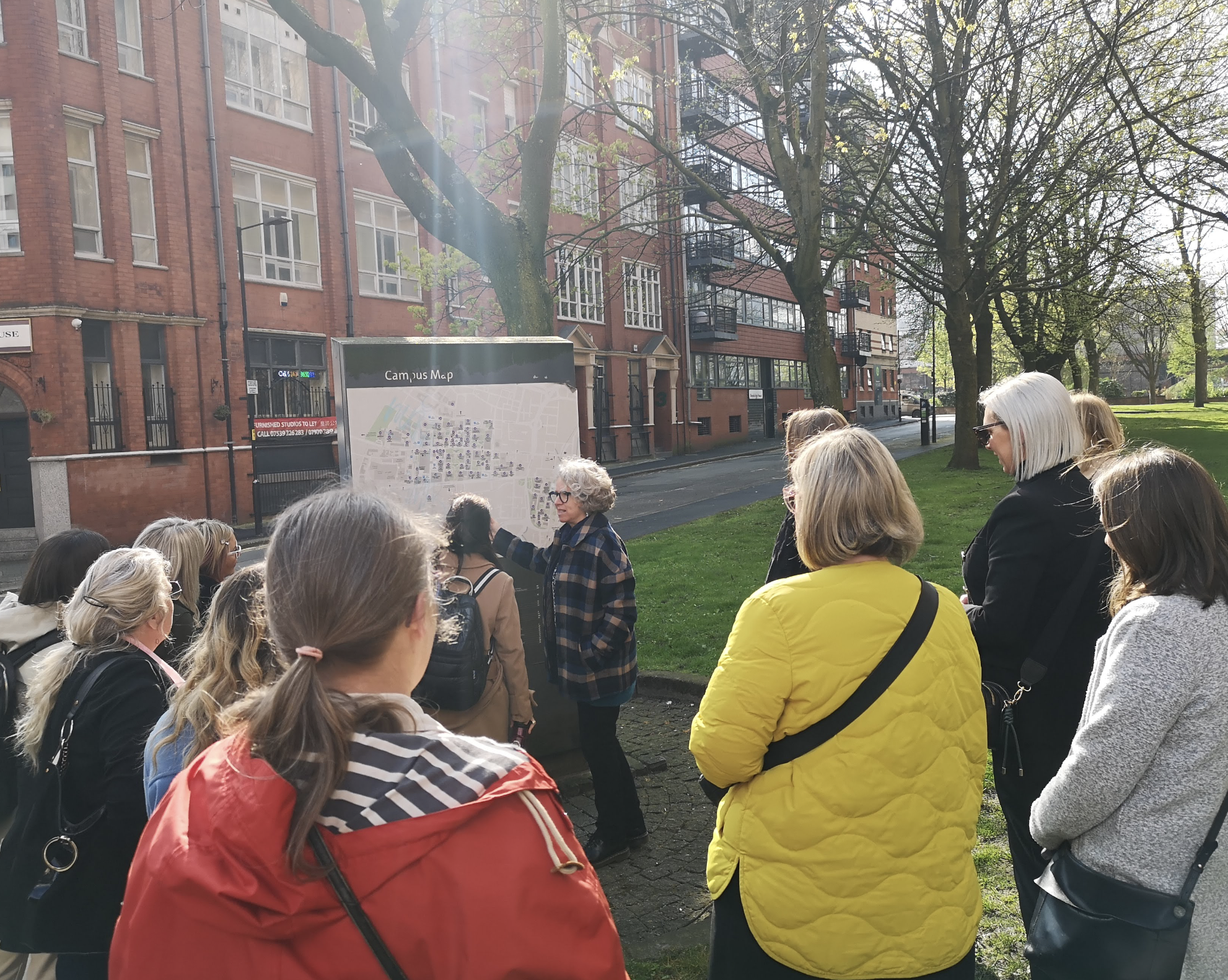
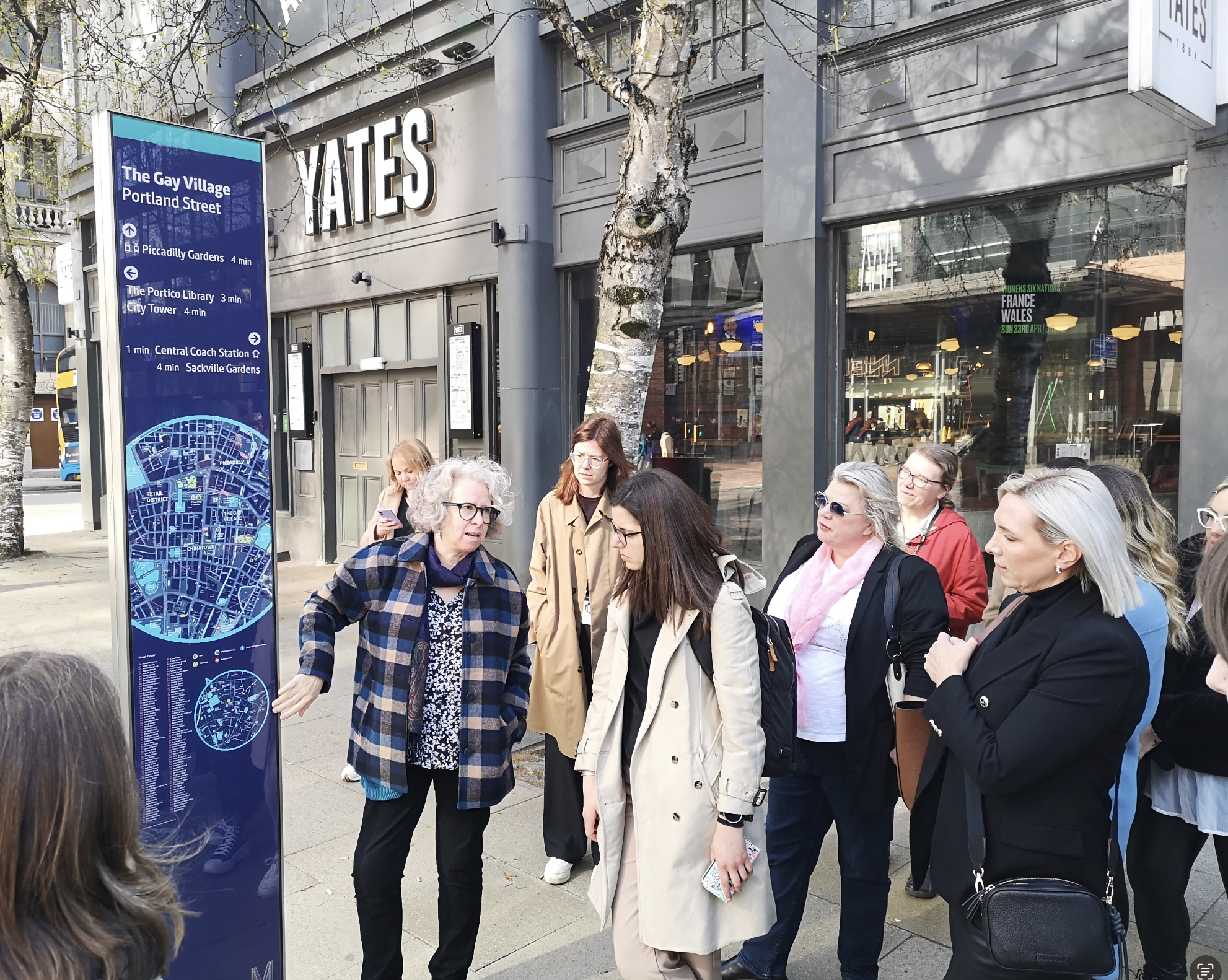
With blue skies and sun gracing us with their presence this time last week, we set off on our second Mapping Manchester event, this time in collaboration with Women in Property.
At a time when it’s all too easy to walk along with your head looking “phoneward” we encouraged our guests to stop, look up and take it all in.
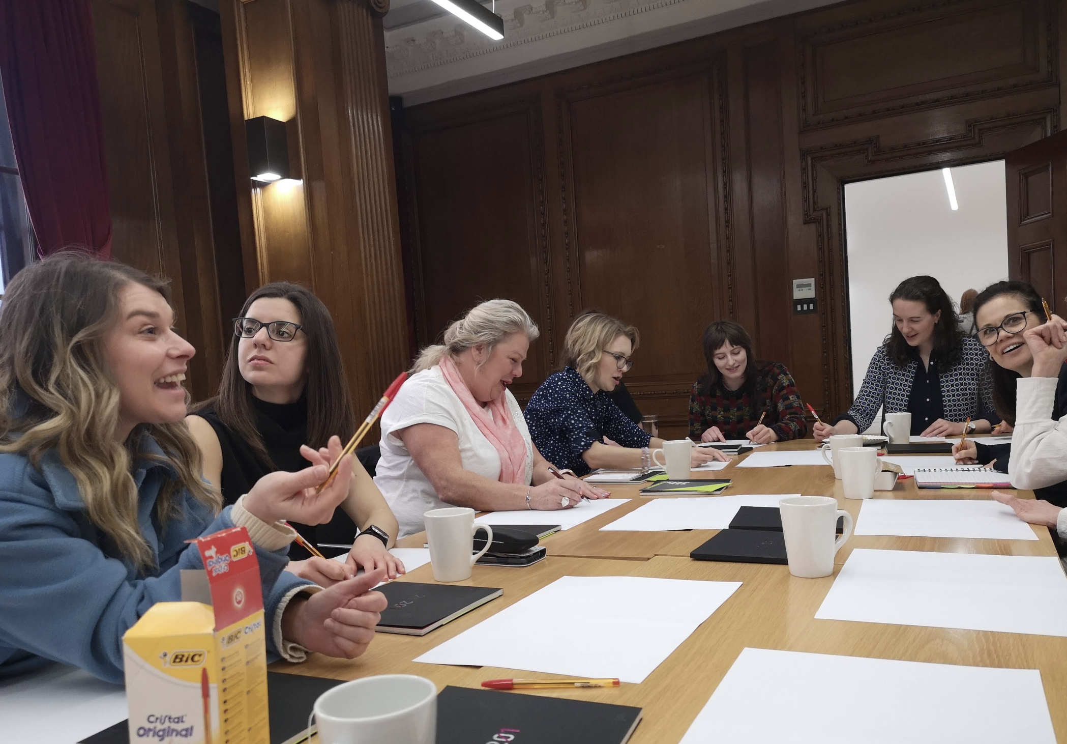

After drawing our own mental maps of the Oxford Street area, we set out to see how the reality matched our own perceptions. At Placemarque, our belief is that the easier you can draw your own mental map of a place, the better you will be able to navigate it and have the confidence to explore and stay a little longer.
So how did we all do, and what did we learn? Here are just some of the themes that popped up in our guests’ reflections:
Connectivity is key
Many spaces and zones in Manchester’s city centre have been given their own identity (Spinningfields, Northern Quarter, the Gay Village to name but a few), but that doesn’t always mean it’s easy to connect the dots.
When tested on how to get from A to B, most of our group struggled to visualise how places were connected, and if you can’t picture how you’re going to get somewhere in your mind, you’re not likely to embark on the journey by foot.
With so much new development taking place across Manchester and Salford, it’s more important than ever to help people navigate between different areas and grow in confidence. The blind spot for many of us in our mental maps was the area between Piccadilly and Oxford Road, and we’re confident that as the ID Manchester masterplan starts to come forward, there will be plenty of scope to build stronger connections through wayfinding interventions.
Perceptions versus reality
Many of us muddled through our mental maps, trying to recall landmarks and fudging the distances between them. Frankly, for a bunch of built environment professionals, we struggled more than we’d like to admit!
What’s happening here?
The truth is that even in places we think we know well, perceived barriers like a motorway, river or canal can really impact our perception of distances or sense of direction. At Mapping Manchester, many of us overestimated the distance between Oxford Road station and Circle Square. In fact, it’s a mere 200m.
When it comes to our rapidly changing city, new vibrant neighbourhoods are developing at pace and with so much change taking place many don’t have the confidence to embark on a journey to a new neighbourhood on foot. Take Salford’s Middlewood Locks for example. Some may not yet have a mental map of the area, and may perceive it to be too far to walk to, but in fact it’s just on the other side of the River Irwell. A new bridge, opening shortly, will make a world of difference to perceptions and, carefully considered wayfinding interventions would be the final tool to curtail that perceived distance.
Private-feeling public spaces
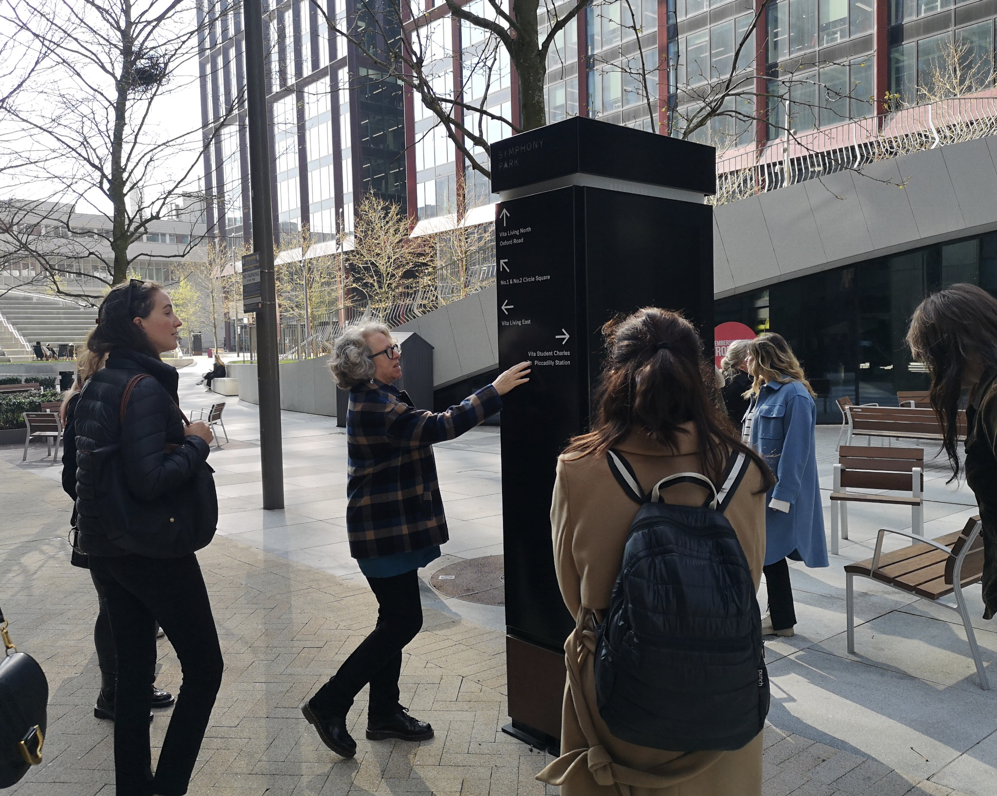
At two key points on our route we crossed spaces that, whilst technically open to the public, felt like private spaces. Hands up if you’ve ever been to the Vimto Park?

Does this matter?
It all depends on whether you want to encourage visitors or not. Psychology plays a big role in wayfinding and we can use it to our advantage depending on whether or not we want to encourage a higher footfall.
We like to think of wayfinding like choreographing the movement of people so with the use of different materials, landscaping, lighting or low walls we can gently nudge people along the desired routes without the need for signs at all. And, likewise, we can keep people away from spaces that, whilst technically public, would function better if left to those that live there.
Until next time…
A big thanks again to Women in Property and all those who joined us on the latest Mapping Manchester event, we hope to see you soon – perhaps exploring another part of our diverse and dynamic home city of Manchester.
And remember, keep those eyes of yours looking up: as novelist Marcel Proust famously said:
“The real voyage of discovery consists not in seeking new lands but seeing with new eyes”.

