We are back in Carnoustie, Angus, over two years after working on the town’s wayfinding signage.
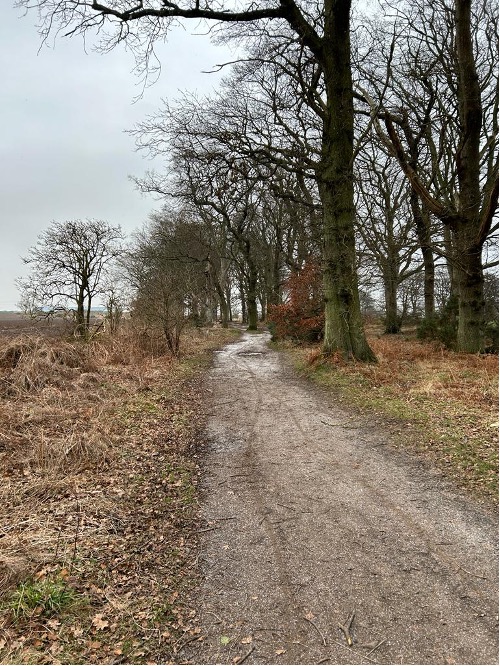
Phase two moves the focus away from the town itself and onto the creation of a circular town trail; an extension to the existing town and coastal route which will provide a 12km circular leisure route.
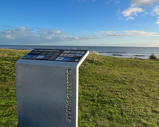
The project is spearheaded by the Carnoustie Community Development Trust, with funding provided by the Seagreen Wind Energy Community Benefit Fund. Its overall aim is to promote health, wellbeing and a love of the outdoors. With the town’s sporting success (Carnoustie’s golf links course is world famous) and its impressive array of coastal birds choosing to call the coastline home, the Development Trust wants to capitalise on its assets and encourage more people to get active in nature.
The paths already exist but have never been identified as part of a cohesive, circular trail and are fairly underused.
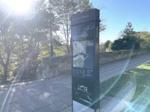
Our role is to devise a clear signage concept that will encourage more people to step out and explore the trails. We’re designing directional signs for along the route itself and maps at key decision points to help users orientate themselves in relation to the town.
The first phase of work is done: we’ve conducted our site visit to walk the route and identify the best paths to take around the town.
Now we’re plotting the route and identifying the right decision points. Not everyone using the trail will want to do the whole 12km route, so we’re establishing intermittent access points to enable pedestrians and cyclists to join or leave the track mid-way.
The signs will be a variation on a theme: influenced by the town signage but with a slightly different look and feel.
Starting and ending in Carnoustie, we are excited to help this important phase two of the town’s wider active travel plans come to fruition.